Topic Overview
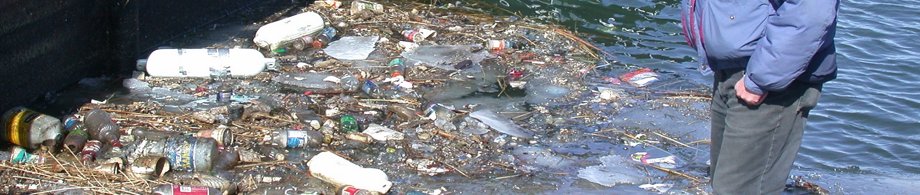
Lake Erie is the shallowest and warmest of the Laurentian Great Lakes. The lake is 241 miles long and 57 miles wide, with an average depth of only 62 feet and maximum depth of 210 feet. More people live within the Lake Erie basin than around the other Great Lakes and more of the surrounding lands have been converted to urban and agricultural uses. Lake Erie's warm, fertile waters make it the most biologically productive of the Great Lakes. Unfortunately, Lake Erie is also the most vulnerable to water pollution. Despite significant progress in recent decades, stresses related to urbanization and agriculture continue to pose a threat to Lake Erie’s recreation and tourism-based economy as well as its environment. Heavy development of the Lake Erie watershed has both increased stormwater runoff, and pollutant loading to the lake as well as reduced the availability of natural landscapes and habitats. Nutrient inputs are once-again fertilizing increased blooms of both nuisance and harmful algae. These algal blooms, reminiscent of the “dead lake” conditions of the early 1970s, result in the fouling of bathing beaches, changes in aquatic community structure, the production of potentially harmful algal toxins, and the formation of an anoxic “dead zone” in the central basin of the lake. Both historical and “emerging” contaminants (e.g. personal care products and pharmaceuticals) continue to accumulate in the lake and its aquatic life, posing a risk to fishes and anglers alike. Non-native invasive species compete with native species for limited resources, resulting in complex and often unpredictable impacts that can affect the entire lake ecosystem.
News and Initiatives
- Pennsylvania Lake Erie Environmental Forum The purpose of the Pennsylvania Lake Erie Environmental Forum (PA LEEF), the successor to the Presque Isle Bay Public Advisory Committee, is to present information to the public on water quality, scientific studies, policy issues, agency and partner actions on Pennsylvania Lake Erie tributaries, and larger-scale policies across the Great Lakes.
- Erie County Harmful Algal Bloom (HAB) Task Force In 2013, the Erie County HAB Task Force was formed in response to the occurrence of harmful algal blooms (HABs) in Presque Isle Bay. The task force, led by the Pennsylvania Department of Environmental Protection, identified the need for a monitoring and response strategy for HABs. In May 2014, the task force published the Lake Erie Harmful Algal Bloom Monitoring and Response Strategy for Recreational Waters. The task force laid out a strategy to monitor environmental conditions to predict HAB formation, sample for toxin levels in recreational waters, make advisory decisions, and inform the public and resource managers about recognizing HABs. In 2015, the task force was awarded the Pennsylvania Governor’s Award for Environmental Excellence.
- Lake Erie Water Quality Buoys A series of nearshore buoys measure parameters in real-time and posts the data to www.PALakeEriebuoy.com. The buoys provide information about weather and ecological conditions for boaters, anglers, swimmers, and researchers
- E.coli and Swimming Beaches There are 12 permitted public bathing beaches along Pennsylvania's Lake Erie shoreline that are monitored for E.coli bacteria; 11 are located on Presque Isle State Park (managed by the Pennsylvania Department of Conservation and Natural Resources), and one, located in North East (managed by North East Township). The Pennsylvania Department of Health regulates the health and safety conditions of these beaches. During the swimming season (Memorial Day weekend through Labor Day), each of these beaches has three sampling stations. The 11 Presque Isle beaches are sampled twice a week, and the Northeast Township beach once a week.
- E.coli Task Force The E. coli Task Force develops strategies for monitoring bacterial concentrations at public swimming beaches at Presque Isle State Park. Research is focused on develop rapid monitoring techniques using predictive modeling, qPCR, and basic water quality measurements. The group has developed procedures for issuing “pre-cautionary advisories to prevent the public from swimming if bacterial concentrations are suspected to be elevated.